Dormfuly
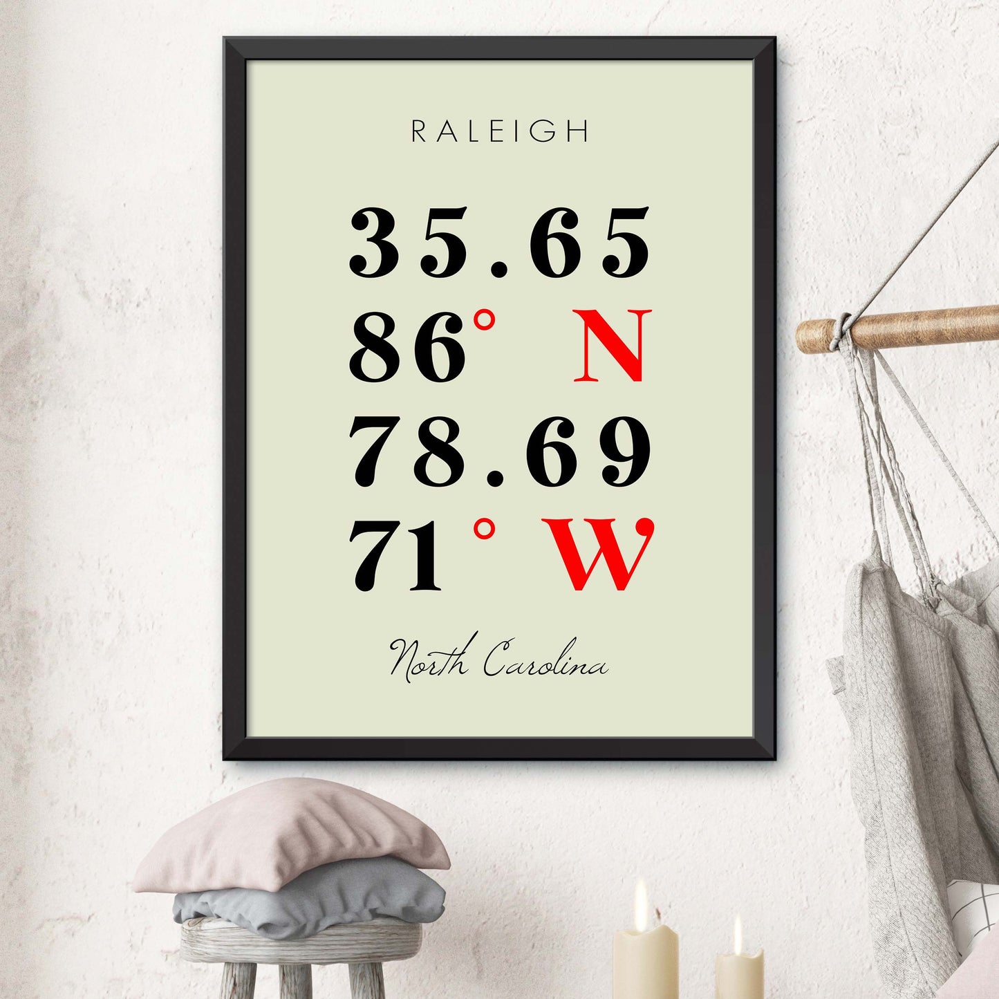
Raleigh Coordinate Map
Raleigh Coordinate Map
Couldn't load pickup availability
Raleigh Coordinate Map
Explore the vibrant capital of North Carolina with our expertly crafted Raleigh coordinate map, designed for both locals and visitors. This detailed map highlights key attractions, neighborhoods, and cultural hotspots, providing precise coordinates for easy navigation throughout the city. Discover iconic sites such as the North Carolina State Capitol, the beautiful Pullen Park, and the thriving arts district, all while uncovering the unique character of Raleigh.
Compact and user-friendly, our Raleigh Coordinate Map is perfect for on-the-go exploration. Whether you’re planning a day of sightseeing or simply looking to familiarize yourself with the local landscape, this map ensures you won’t miss any of Raleigh’s hidden gems and exciting experiences.
Sizes Available:
- 8x10 inches
- 12x16 inches
- 16x20 inches
- 18x24 inches
- 24x36 inches
Material: Printed on high-quality, heavyweight paper with a matte finish for a refined look.
Features:
- Elegant Pink Design
- Multiple Sizes Available
- High-Quality Printing
- Matte Finish
Shipping: Each poster is carefully packaged to ensure it arrives in perfect condition. , and orders are typically processed within 1 business days.
Transform your space with this Coordinate Map print – a delightful addition to any room's decor. Order yours today!


